We use mobile app data to identify users and their location over time, to identify cases of many people congregating at a location. This can allow us to identify potential infractions of restrictions on movement or meetings.
The screenshot below shows a particular area with number of phones detected.
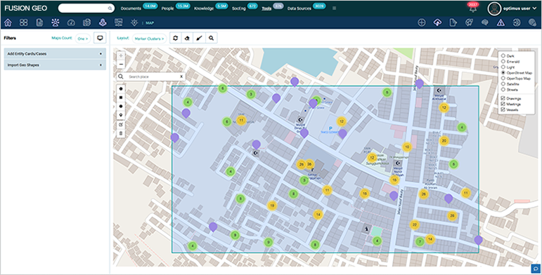
Once we zoom-in as shown below, we ca identify gatherings of 10 or more phones in orange.
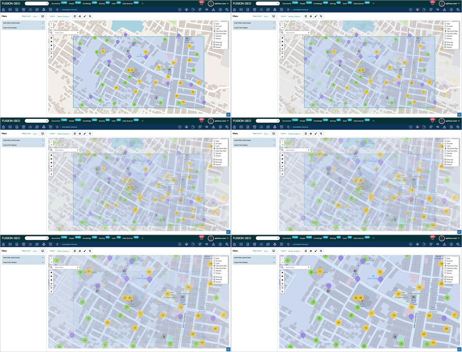
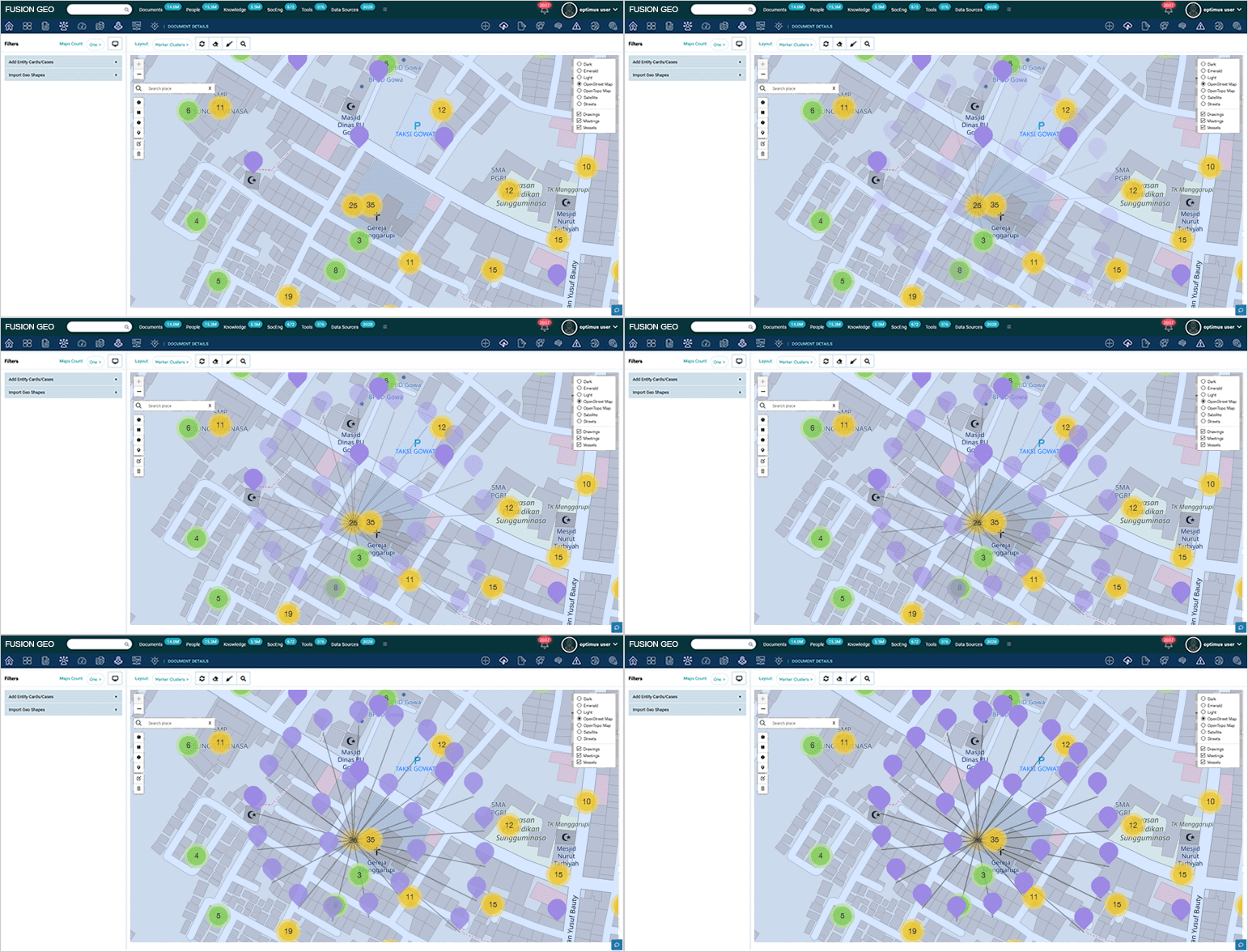
For example, in the map below we see overcrowding in an area of a church
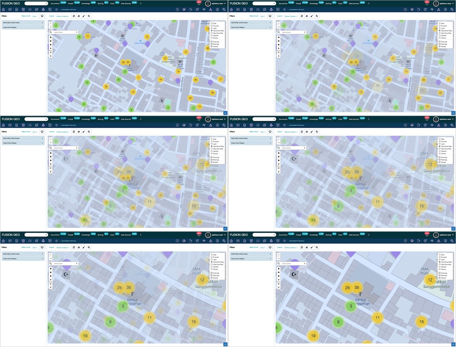
If we click on a cluster the system can show us a spiral view of all items in the cluster.
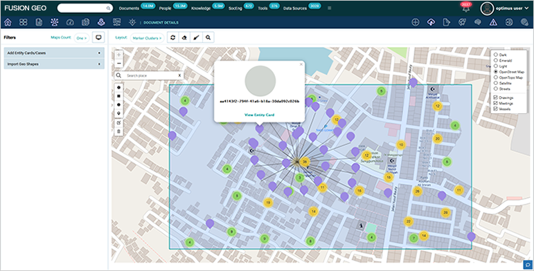
For each individual item (either in a cluster or on his own), we can go to the entity card. The entity card will represent one user.
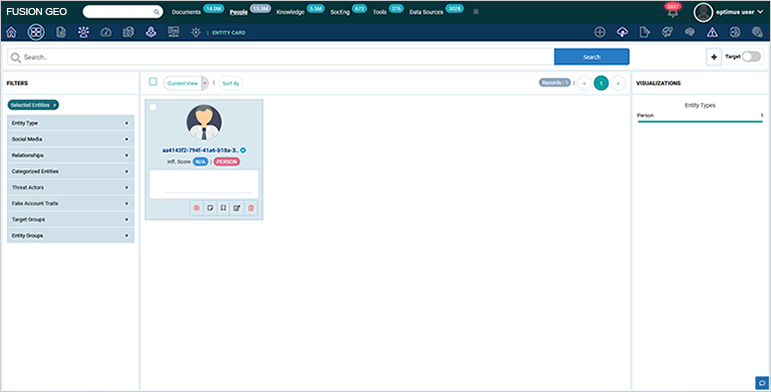
In the entity card view we can see one or more entities.
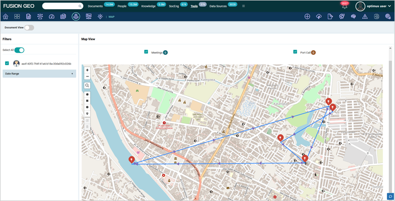
Users may then look at one or more entities and review their individual movements over time on the map, as shown below.
